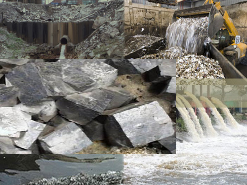
Sources of Ground Water Pollution
Ground water is a resource found under the earth’s surface. Most ground water comes from rain and melting snow soaking
Read MorePROJECT GUIDE & IN-DEPTH REVIEW
Ground water is a resource found under the earth’s surface. Most ground water comes from rain and melting snow soaking
Read More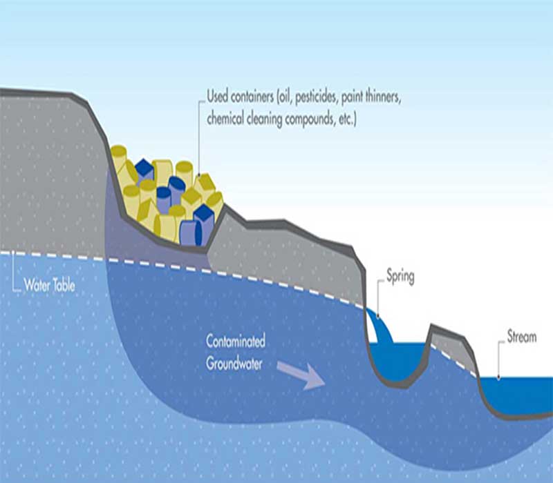
The potential for pollution entering your well is affected by its placement and construction — how close is your well
Read More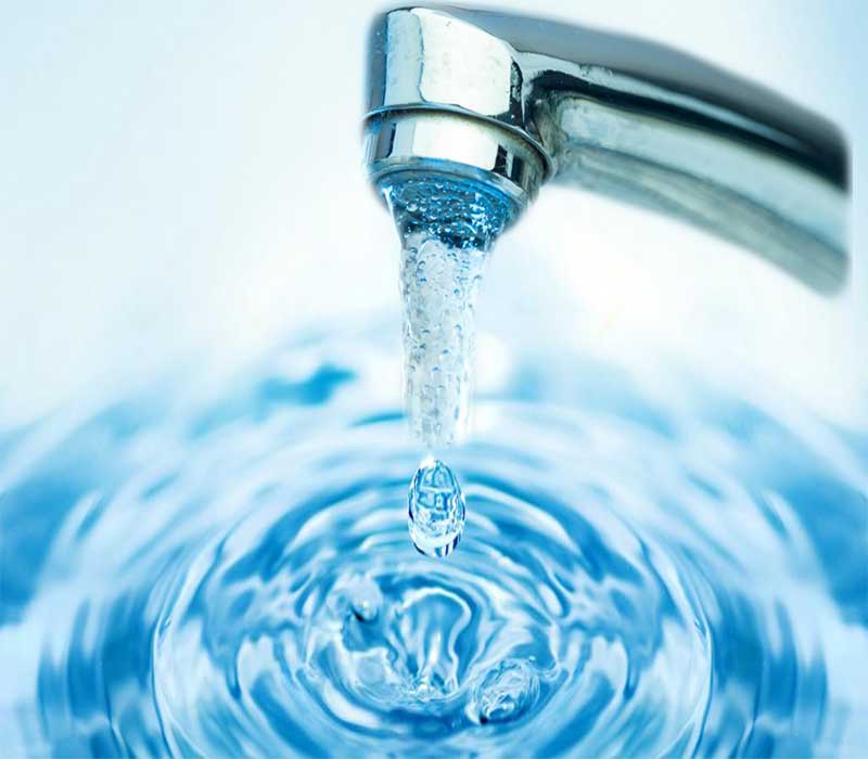
Water is a simple chemical compound. The chemical formula of water is H2O. That is, each water molecule consists of
Read More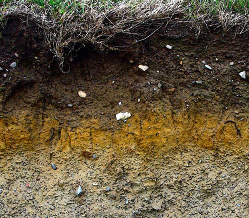
What is soil? Soil is: One of the basic resources we need to survive – like air and water The
Read More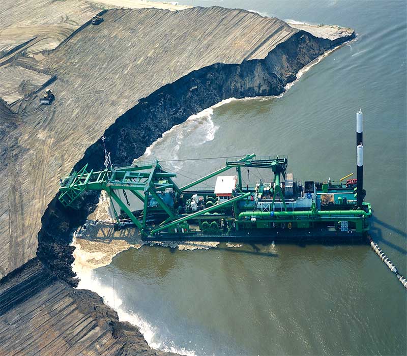
The main components of sand search investigations include initial layout of survey track line patterns, core site selection, selection of
Read More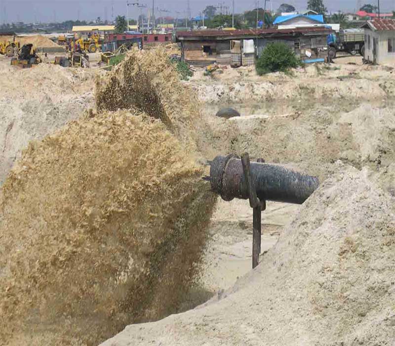
Sand Search is the process of investigating and exploring water bodies with the aim of locating areas with sand deposits
Read More
Whether you’re at Land, Swamp barge drilling Rig and a campsite. You are starting an eco-friendly campsite in the middle
Read More