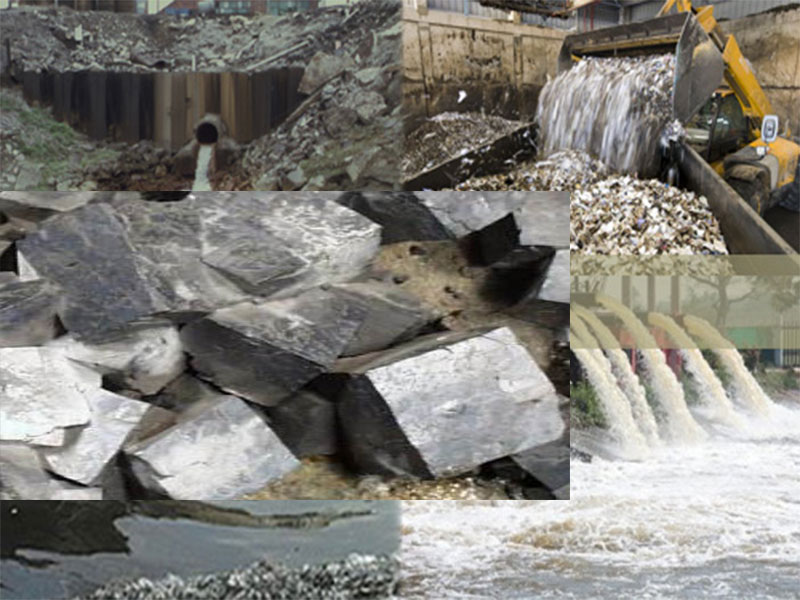
Sand Search Survey for Sand Mining (Dredging)
Sand Search is the process of investigating and exploring water bodies with the aim of locating areas with sand deposits in commercial quantity to be exploited by dredging for reclamation of marshy terrain or stockpiling for sale to construction companies.
Determination of the quantity of sand excavated from the seabed or riverbed is a major factor that cannot be underestimated in all dredging activities as the process and cost of dredging is often based on the quantity of the dredged materials. Sand search survey with accurate report is the first step towards carrying out a sand dredging & stockpiling.
The proper approach foremost is to determine the availability of sand within the proposed dredging site, the quality of such material and the distance from the points of mining to the point of discharge. Such information determines to a large extent the profitability of dredging.
A systematic approach to sand search surveys involves:
- Hydrographic surveying: This is the determination of the depth of the river/creek bed by a technique known as echo sounding. Hydrographic survey is also facilitated by carrying out a detailed survey of the water body and its adjoining man-made or natural features. In addition, topographic survey is employed to obtain the spot heights of areas on land that are above water level, while the drill borehole positions are selected.
- Geotechnical survey along the identified river channel in search of sand availability. Boring for sample collection and determining the dimensions (length and breadth) of the intended borrow pit, the depth of water, volume of sand as well as the quality with sieve analysis (physical characteristics )
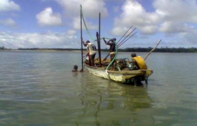
Local or Manual Sand search methods for shallow water depth.
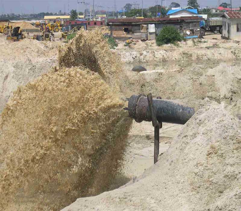
Local or manual methods include drilling borehole by water jet which is limited to shallow water depths. The results from the borehole logs, showing various depth interval of deposits with the X Y Z coordinates recorded, make it easy for the volume of sand to be calculated by simple geometry and arithmetic formula with given dimensions of length, breadth and depth. The project area if very large is divided into blocks with accurate mapping of the project area using land survey methods or the more recent satellite mapping technique using the Global Positioning System (GPS). The map so produced is an essential tool for sand mining project.
Accurate positioning of the borehole points and measurement of the distance between such points and the stockpiling site on land while giving considerations for slack needed for the dredger to swing. Dredging companies need to know the distances for exploitation of the sand deposits as this will enable them ascertain the length of their floating hoses needed for that particular project. Furthermore the co-ordinates of the center point of proposed underwater borrow pits must be known for accurate positioning of the dredger on the sand pit. Pegs are usually placed on such points after investigations.
In conclusion therefore, a good sand search survey report must among other things provide information on the following:
- Quantity or volume of sand available for dredging can be calculated from the results of borehole logs showing the various layers of deposits with given dimensions of length, breadth and depth.
- The quality of sand determined by laboratory sieve analysis for particle size range of the samples
- A bathymetric map of the project area depicting depths for smooth navigation of the dredger to the sand pit and as a base for determining changes in the sub-bottom topography after dredging.
- The exact co-ordinates of the center point and radius of borrow pits.
- The distances of the borrow pits to the stockpiling site and a recommendation on the length of dredger ladder required for maximum mining of the deposit from the borrow pits.
Professional Hydrographic Surveyors and Geologist should be used for this exercise to ensure accurate data acquisition methods.
Talk to us for upcoming Sand Search for dredging project
Geodata Evaluation & Drilling Limited offers Sand Search services for sand dredging project. Let us handle the project for you. Contact us at www.geodatadrilling.com Phone: +234 8037055441